This course is tough... do not kid yourself in any way. You will cross a variety of terrain and climb over 5,180m (17,000'). Even the best runners can succumb to weather that changes from blistering heat to bitter cold and wet. Don't take anything for granted.
Full Course | Full Near Death Marathon | Leg 1 | Leg 2 | Leg 3 | Leg 4 | Leg 5 | Kids Death Race
Total Distance: 41.3km/25.66mi (Marathon) | 118km/73.32mi (Ultra)
Total Elev. Gain: 1,775m/5,823' (Marathon) | 4,770m/15,650' (Ultra)
Duration: 9.5 (Marathon) – 24h (Ultra)
Cutoff Times*:
†The race starts at 8:00am sharp. Runners who are not at the start line at this time may be disqualified. For safety reasons, all runners are expected to follow the lead vehicle.
*Except for the Finish, all cutoffs indicate the time the racer must start the leg of the race. Note that if poor conditions persist, Race Admin reserves the right to change or add cutoff times as required in order to manage racer and volunteer safety.
Distance: 14km
Elevation: +400m / -435m
Aid Stations: CP109 = ~10km
Description: Approximately 1 km of initial pavement, followed by trail and 8 km of gravel road. It includes a net elevation loss of 500 feet, rolling hills with flat sections, several creek crossings, and one significant downhill. The course will start in downtown Grande Cache at Central Park. It then continues past Grande Cache Lake and Peavine Lake, mainly on quad trails, and includes a section along a ridge with a spectacular view of Peavine Lake and the mountains of Willmore Wilderness Park. After crossing Washy Creek and skirting the north end of the CN rail yard through a deep mud bog, enter the first full aid station and relay exchange zone.
Distance: 29.4km (~25.7 Marathon)
Elevation: +1,700m / -1,670m
Aid Stations: CP219 = ~18km
Description: Includes about 1 km of pavement. The rest is dirt trail with rocky and swampy sections and approximately 6 km of hard packed dirt road. Net elevation gain is 500 feet, but the total elevation change is well over 6000 feet. This leg of the race is characterized by long sustained climbing with about 3 km of very rough terrain and two creek crossings. The trail from the summit of Flood Mountain to the summit of Grande Mountain is the roughest piece of trail in the Death Race. The power line down the front of Grande Mountain leading back into town is the most dangerous part of the entire course. This is due to the steep, rocky drop-offs and unstable footing while running downhill. The Slugfest is the most technical section and is rated the second hardest leg of the Death Race (although many rate this leg as the hardest of all). The Near Death Marathon course bypasses the Flood Summit Loop but otherwise is the exact same Legs 1 and 2 and finishes at the Start/Finish Line at the end of Leg 2.
Distance: 21.5km
Elevation: +345m / -632m
Aid Stations: CP316 = ~18km
Description: A bit of pavement to start and the rest is a dirt road with several creek crossings. One creek runs right down the trail as you descend the first part of the Mine Road; making for very slippery, rocky, terrain for 30 meters. This section passes through the lowest point in the race, hitting the very bottom of the Smoky River valley floor, with knee deep water for 25 meters. (If it’s a wet summer, it's worse.) With a net elevation loss of over 600m, this section is the fastest and easiest of the race and one of the most beautiful, offering stunning views of the Smoky River valley.
Distance: 35.2km
Elevation: +1,575m / -1,549m
Aid Stations: CP406 = ~5km / CP410 = ~9km / CP423 = ~22km
Description: This is mostly dirt trail and hard packed gravel. While the net elevation gain is almost zero, the total elevation change is well over 1,500m, which comes practically all at once. The ascent of Mount Hamell is broken into two very long climbs, with one small reprieve as you gain the shoulder of the mountain at the mid-point. At the forestry tower on the summit of Mount Hamell, runners check in and then continue toward the spectacular cliff bluffs at Hell's Canyon, where they must retrieve a prayer flag as proof they have made the turnaround point. The descent is strewn with boulders and deep ruts. The downhill is not that technical, but any falls will be on very unforgiving ground. (Read the waiver section about being in remote areas and not being rescued in time to prevent serious injury or death.) This entire leg is fantastically scenic.
Distance: 18.5km
Elevation: +750m / -476m
Aid Stations: CP510 = ~7km
Description: Mostly really brushy single track to start, and then the infamous river crossing. The rest is dirt trail, grass, and single track. This section runs from the Northwest end of the Hell’s Gate Access Road southward to the Sulphur Gates Road - across from the Hell’s Gate emergency aid station. It crosses the Hell’s Gate road and heads down to the Boat Launch Road. Runners will be ferried across the Smoky River. There is an emergency aid station on the west bank of the river. From the raft crossing, racers will proceed up the east shore of the Smoky River and follow the trail to the Sulphur Rim trail. The course passes the Firemen's Park, heads up Firemen's Park Road and continues to the Finish line in the Grande Cache town square. Please note: For most runners, this leg will be completed in darkness with much of the trail under a heavy canopy of trees, so eye protection is required. Although this section is well marked with reflective markers, flagging tape, and signs, we recommend you bring a halogen headlamp with brand new alkaline batteries. Daylight training on this part of the course is highly recommended. In Greek mythology, Charon is the ferryman of Hades who carries souls of the newly deceased across the river Styx that divides the world of the living from the world of the dead. A coin is used to pay Charon for passage. This coin must be carried at all times by soloists and the runner for each leg and given to the grim reaper at the river for access to the boat. Runners who lose their coin will not be permitted access to the boat resulting in a DNF.


Sinister Sports Inc.
Box 460 Bellevue, AB, T0K 0C0
E:


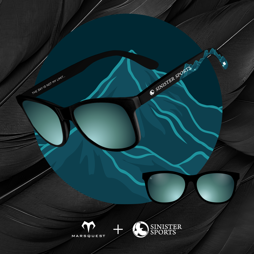
Get your
Sinister Sports X MarsQuest
sunglasses here!
©2020-2025 Sinister Sports Inc. All Rights Reserved.