The Course

Course Maps, GPX, and Details

The course is split into three loops that start and end at Mont Sutton Resort. The trails and amazing, and the climbs are daunting. There isn't a single bit of pavement on the course, and you get many kilometres of technical single track. You have 24 hours to finish, and intermediate cutoffs will be assigned for key points on the course. If you think you do not like loop courses, wait until you see these trails before you say that!


Downloads

Coming soon!

Descriptions

Distance: 10k, 24k, 42k, 52k, 66k, 84k, 84k Relay
Check out the How it Works page to make sure you understand the options!

Elevation: 2,660m gain (on the 84k course)

Duration: Maximum 24 hours, with cutoffs at critical points


Course Map


Trois Lacs – Stage 1+4

Distance: 10km

Gain/Loss: 695m/695m

Max Elev: 860m

Stage 1 / 4 takes you south across Mont Sutton, and out into the wilderness where you pass Lac Spruce, Lac Mud, and Lac Vogel. There is lots of climbing all the way to the checkpoint, then a fast descent to the base.

Leg 1 Elevation


Lac Mohawk – Stage 2+5

Distance: 14km

Gain/Loss: 730m/730m

Max Elev: 860m

Stage 2 / 5 thakes you south of Mont Sutton, and around both Lac Mohawk and Round Top. The checkpoint is just off the main route, so do not miss it! The trails in this area roll through beautiful maple forests, and the woods are shaded and fresh

Leg 2 Elevation


Sommet des Hollandaise – Leg 3+6

Distance: 18km

Gain/Loss: 1,240m/1,240m

Max Elev: 910m

Stage 3 / 6 takes you to the east up Sommet des Hollandaise, which is the single biggest climb on the course. From there, you roll along three peaks, past our three favourite lakes, and then wind your way back to the top of Mont Sutton. From there, you have another fast descent to the finish line.

Leg 3 Elevation


Sun River Honey

Sinister Sports Inc.
Box 460 Bellevue, AB, T0K 0C0
E:

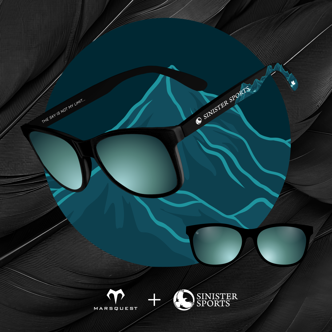
Get your
Sinister Sports X MarsQuest
sunglasses here!

©2020-2025 Sinister Sports Inc. All Rights Reserved.